A taxing district is any entity or unit with the statutory authority to levy a property tax. The areas covered by these districts may overlap and change every year.
In Idaho property taxes are collected by the County and distributed to each taxing district (schools, cities, county agencies, fire districts, road districts, etc.) in which the property lies. The amount of property tax that you pay is based on
- The assessed value of your property and
- Tax rates and bond debt service amount your taxing districts levy.
Additional Resources
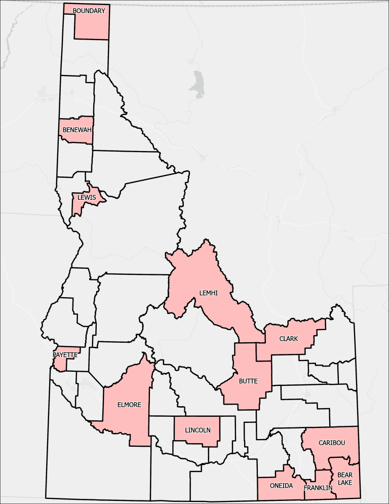
Maps and Data
You may download current and historic taxing district data (shapefiles) using the table below. Search by year and district type. A table should appear, from which you can download a shapefile or map.
Note: boundary changes do not take effect until the year following the year it was submitted. For example, requests submitted to ISTC during calendar year 2026 will take effect in calendar year 2027.
Note: pdf maps stopped being produced for individual taxing districts in 2022. If you need a map for an individual taxing district, please contact us at gis@tax.idaho.gov.